
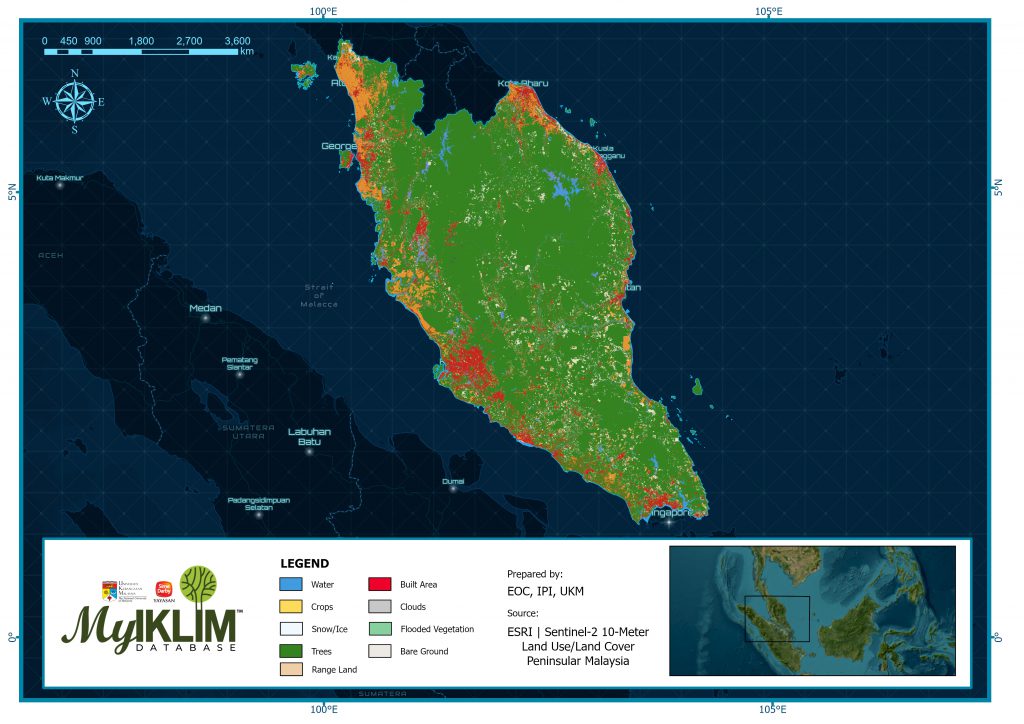
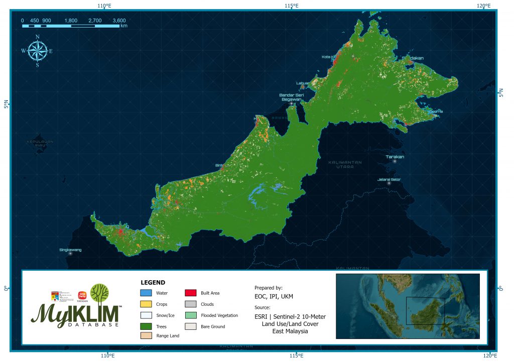
Existing artificial intelligence (AI) land classification models were enhanced by bringing together a massive training dataset of billions of human-labeled image pixels. These models were applied to the entire Sentinel-2 scene collection for each year that’s over 2,000,000 Earth observations from 6 spectral bands to produce the maps.
The ESRI Sentinel Land Use/Land Cover (LULC) dataset is a global, high-resolution land cover map derived from Sentinel-2 satellite imagery and machine learning classification. It provides annual updates (from 2017 onward) at 10-meter resolution, offering consistent information on land use classes such as forests, croplands, wetlands, built-up areas, grasslands, shrublands, and water.
| TEMPORAL COVERAGE | : | 2017 – 2024 |
| TEMPORAL FREQUENCY | : | Annual |
| SPATIAL COVERAGE | : | Malaysia |
| SPATIAL RESOLUTION | : | 4961 x 3508 |
| VARIABLES | : | Land use classes |
MyIKLIM database. Available online: https://myiklimysd.ukm.my/lcsh_002_eoc/ [accessed on: enter date]
| CONTACT PERSON | : | Muhammad Ammar Fakhry Norzin, Earth Observation Centre (EOC) |
| FUNDING INFORMATION | : | – |
| REFERENCE | : | Karra, A., Kontgis, C., et al. “Global land use / land cover with Sentinel-2 and deep learning. “ IGARSS 2021 IEEE International Geoscience and Remote Sensing Symposium, 2021. |